The North End Neighborhood is generally defined as being east of Orchard St, north of 6th Ave, and west of the Stadium business district. View a map of the North End on the City of Tacoma website.
The North End is comprised of the original settlement in Tacoma, vibrant business districts, great public schools, and top-notch parks. The North End area includes:
- Proctor
- Old Town
- North Slope
- Bridge District
- Stadium
- University of Puget Sound
- College Park Historic District
- 6th Avenue
- Sherman / Jane Clark
- Jefferson
- Buckley
- Puget Park / North Proctor
- Wedge
Proctor
The Proctor Business District is one of the key commercial areas serving the North End. The district contains most of the basic necessities for day-to-day living, including two major grocery stores, and there’s a farmers’ market on Saturdays during most of the year. Outside of the Proctor Business District, the area is primarily a single-family neighborhood. Only a very few vacant lots are still available. There are satellite commercial areas located at North 26th and Alder Streets and at North 26th and Stevens Streets, and a few isolated, nonconforming uses are scattered in the neighborhood. Several landmark, community buildings cluster around the business district: Mason Middle School, Washington Elementary School, the Wheelock Library, and Hoyt Elementary School. The Union Avenue median, which contains a mature canopy of trees, and the landscaped Mason Avenue median form part of the Mason-Union Loop walking trail. The Proctor Community Garden at 21st and Proctor Streets is the largest community garden in the North End.
Related websites:
- Proctor Business District website – http://theproctordistrict.com/
- Proctor Arts Fest website – http://proctorartsfest.com/
Old Town
Old Town is the original town site for Tacoma. Several historic structures have been preserved, though much of the development is relatively modern. This area contains a successful commercial corridor along North 30th Street. Businesses include professional services and restaurants. Upland residential uses are primarily single-family. Small concentrations of higher density homes are located near North 30th and Starr Streets as well as near North 31st and Carr Streets. A few non-conforming duplexes are scattered in the area. Old Town also contains many of the parks and waterfront businesses along Ruston Way. Neighborhood scale parks are located on North 29th and on North 30th at the terminus of Buckley Gulch. Old Town offers a number of excellent water views.
- Old Town Business District – http://oldtacomabusiness.com/
North Slope
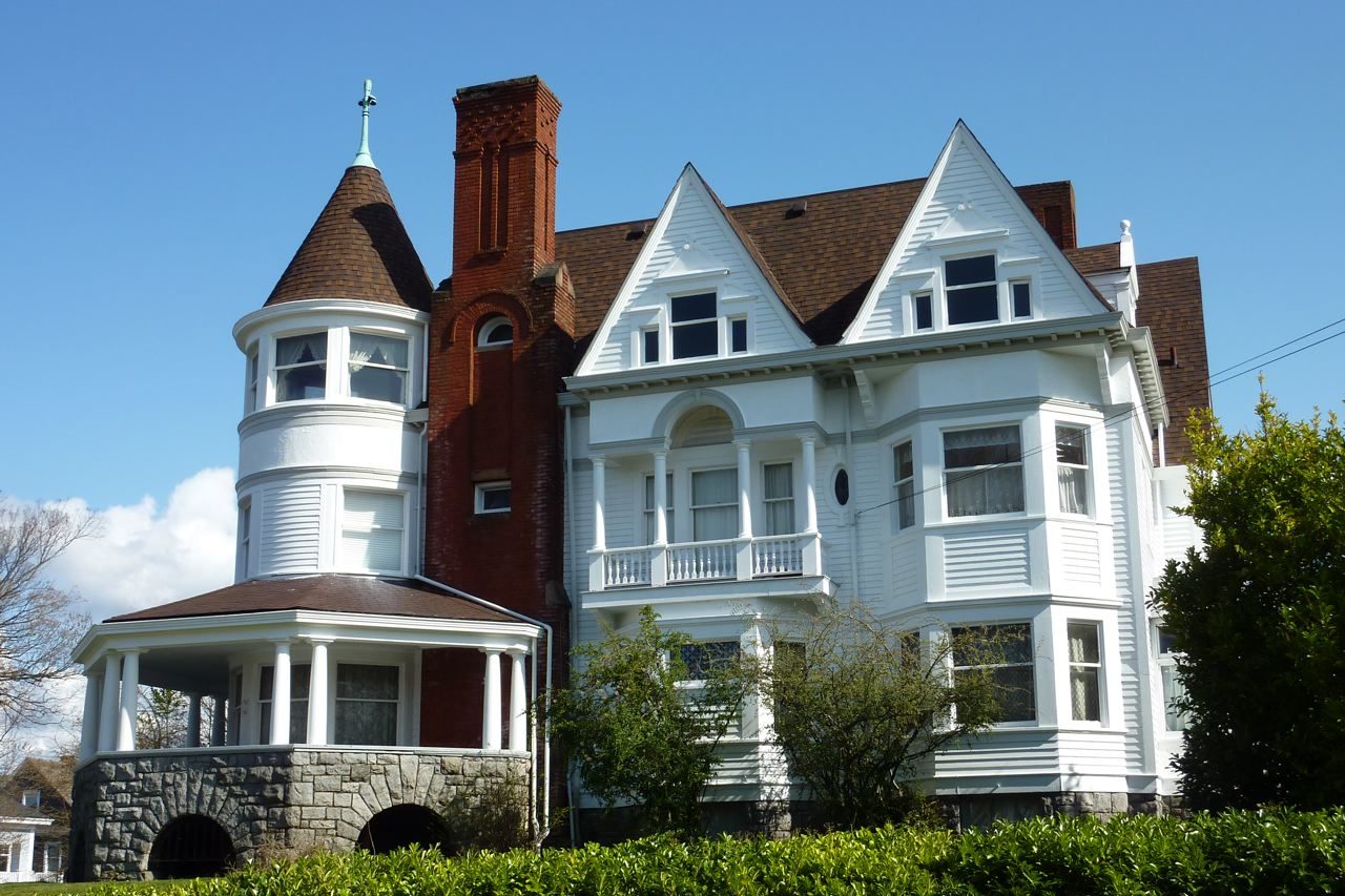
 The North Slope Historic District is one of the largest residential historic districts in the United States. The St. Patrick Cathedral provides a noted landmark at North 12th and North J Streets, but there are other landmark churches in the area. This neighborhood holds a wide variety of residential forms ranging from Victorian houses to 1950’s era apartment buildings. A commercial node is located at North 6th and K Streets. A larger concentration of commercial activity is located in the vicinity of North K and L Streets at Division Avenue and also nearby along North I Street. The North Slope holds some of the oldest houses in the city. Its street system is a fairly traditional grid pattern, and some historic cobbled streets remain.
- North Slope Historic District – http://tacomanorthslope.org/
- City of Tacoma Historic District information – https://www.cityoftacoma.org/
Bridge District
This area is comprised of three distinct pieces: the commercial area stretching along North 21st Street from Steel to Anderson Streets, Lowell Elementary School, and Prospect Hill. Land use is primarily single-family homes. A few scattered duplexes are present, with higher density uses located in the southwestern corner of the neighborhood in the North 21st Street commercial area. A parallel bridge on North Yakima between Fife and Oakes has been closed to vehicles but remains open for pedestrians and bikes. Buckley Gulch offers a large area of green space. Steep slopes and narrow streets are common, and many of those slopes offer excellent views of Old Town and Commencement Bay.
6th Ave
Only half of this neighborhood sits in the North End, the half on the north side of the 6th Ave Business District. Although there is a wide range of businesses in the district, there is a definite focus on restaurants and nightlife. Along the 6th Avenue corridor, there is a greater density of residents than in most of the North End. While single-family homes are still common, there’s a much higher prevalence of multi-family housing options. As the neighborhood stretches in a long finger along 6th, it touches and mingles with several other neighborhood areas: Jefferson, University of Puget Sound, Buckley, North Slope. The heart of the area centers around Pine Street, where an evening farmers’ market takes place during half of the year, but the neighborhood, because of its length, has less of a physical center than some other parts of the North End.
- 6th Ave Business District – https://on6thave.org/
Sherman / Jane Clark
The neighborhood is largely developed and characterized by single-family homes. Very few vacant lots remain. The area has a few scattered legal non-conforming duplexes and apartment buildings. There is an underdeveloped node of commercial zoning present at North 41st and Cheyenne. Jane Clark Park and Sherman Elementary draw community activity to North 39th Street. A historic fire station is nearby at North 41st and Gove. Several historic church properties are also present throughout the area, and the former Weyerhaeuser mansion is the most notable building. The greatest landmark of the area, however, is Mason Gulch, a natural wooded area which preserves views, provides green space, and offers wildlife habitat.A large portion of the area enjoys water views to the north and east.
Jefferson
The Jefferson name carries through the neighborhood from the area around Jefferson Elementary School to the area around Jefferson Park. The majority of the blocks in this area contain primarily single-family houses. Architectural designs vary greatly. Some commercial pockets are located along 6th Avenue. Non-conforming land uses such as apartments or small commercial buildings are relatively few. The Mason Avenue median serves as a main spine for the area and also serves as part of a well-used pedestrian trail that connects to the Proctor and University of Puget Sound areas.
Buckley
Buckley is the area between 6th Avenue and the Bridge District from Steele Street to Pine Street. Both 6th Avenue and North 21st Street provide commercial services to the neighborhood. The 6th Avenue area is more intensive than the small district centered at North 21st Street and North Oakes. Grant Elementary is a landmark more to the center of the neighborhood. The area contains mostly single-family houses. Higher density residential is found closer to 6th and to 21st. Buckley features some especially narrow streets and has the south end of Buckley Gulch as a prominent piece of green space.
Buckley’s Addition was added to the National Register of Historic Places in 2016. The district is named for James M. Buckley, who was the Assistant General Manager of the Northern Pacific Railroad. Buckley purchased several large homestead claims and platted Buckley’s Addition, which was filed on June 12, 1883.
- City of Tacoma Historic Districts information – https://www.cityoftacoma.org/
Stadium
The part of the Stadium area officially in the North End is only a portion of the traditionally recognized neighborhood. The boundary line with the New Tacoma Neighborhood runs along North 5th Street from Yakima Street north. Garfield Gulch is located in the heart of this area. The gulch is framed by Annie Wright Schools, the Tacoma Lawn Tennis Club, and Garfield Park. Stadium is an overwhelmingly residential area. Commencement Bay water views are common in this area, and there are several historic properties.
- Stadium Business District – http://stadiumdistrict.com/
University of Puget Sound
The University of Puget Sound campus is the defining element of this neighborhood. The campus is generally located between North 18th and North 9th Streets from Union Avenue to Alder Street. A large TPU substation is located at North 21st Street and Adams. The UPS Area, like most of the North End, is primarily composed of single-family homes and a few duplexes. A number of non-conforming uses are scattered throughout the neighborhood. Buckley Gulch provides a concentration of green space that begins near the intersection of North 16th and Junett Streets, where another substation was converted into a community garden.
- University of Puget Sound website – https://www.pugetsound.edu/
College Park Historic District
The College Park Historic District was added to the National Register of Historic Places in 2017. The district is 125 acres roughly bordered by North Pine Street on the east; North 21 Street on the north; North Alder Street and North Union Avenue on the west; and North 8th & North 18th adjacent to the University of Puget Sound, on the south. Architectural types include Queen Anne; Colonial and Tudor revivals, Minimal Traditional, and Craftsman. Most of the homes were built from 1890 to 1960. The district represents the broad pattern of social and economic history of Tacoma. College Park also embodies the distinctive characteristics of homes from this period and includes the work of master craftsmen and architects.
- City of Tacoma Historic Districts information – https://www.cityoftacoma.org/
Puget Park / North Proctor
Like most of the North End, the Puget Park area is a fully developed neighborhood of primarily single-family homes with a few duplexes scattered around the area. It is accented by a compact business district at Proctor and North 34th Street and by Puget Gulch. The commercial area contains some apartment buildings as well. The gulch provides one of the largest concentrations of open space and wildlife habitat in Tacoma. The gulch is complemented by Puget Park at the northeast corner of Proctor and North 31st Street. Linking the park to the commercial area is a landmark bridge where Proctor crosses Puget Gulch. A few blocks to the north, North 36th Street and its transition to Alder Way provide one of the primary routes to Ruston Way and the waterfront. Many properties enjoy water and/or gulch views.
Wedge
The Wedge area is a portion of the traditional 6th Avenue/Division Avenue Wedge. The split between neighborhood council districts is established at South L Street, which is roughly the split between the residential and medical portions of the neighborhood. In total, this is a small area of approximately a dozen blocks. At its core, the Wedge holds older, historical residential properties, which are a combination of houses, duplexes and apartments. Some medical uses are found on the west side of South L. The 6th Avenue Corridor contains a wide variety of commercial and office uses. A small triangular block at Division Avenue and South 5th Street provides a neighborhood entry and green space.
The Wedge Neighborhood Historic District was established in 2011 in response to a request by neighborhood residents. The Wedge Neighborhood is significant for its representation of a pre-WWII, middle class, Tacoma neighborhood. The profiles of its residents–which cut across professions and backgrounds–tell a typical story of an emerging community. The Wedge Neighborhood Conservation District is intended to “buffer” the core historic district from the impact of development in the surrounding area.
- City of Tacoma Historic Districts information – https://www.cityoftacoma.org/